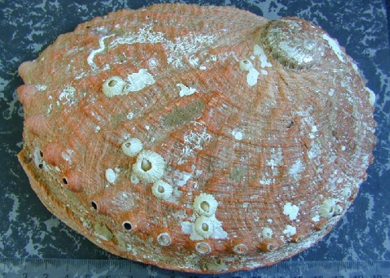
Haliotis laevigata
Type of resources
Topics
Keywords
Contact for the resource
Provided by
Years
-

The abalone commercial catch sampling project contains length-based samples from diver catches collected in Tasmania waters.
-

The dataset contains length frequency information for abalone species, collected in all Tasmanian state waters from 1988.
-

This projects' data on abalone translocations is stored in two databases containing data collected for abalone aggregation and larval surveys in Tasmania. Genetic information has also been generated using microsatellites.
-

Abalone growth data include estimates from growth increment data from tagging studies, and from shell ageing studies. Data has been collected from all Tasmanian state waters since 1986.
-

Database includes data on abalone size at maturity, collected from sites around Tasmania from 1988.
-
Using a telephone/diary survey methodology information about recreational fishing activity for rock lobster and abalone in Tasmania is monitored over a fishing season, with surveys conducted biennially. Information reported includes: date, location (fishing regions), method (pot, ring, dive), target species and catch (numbers of lobster and/or abalone). Sampling is linked to the recreational licensing database, managed by the state government.
-
The spatial extent of the long spined sea urchin, Centrostephanus rodgersii, was estimated by divers using underwater visual census methods to survey rocky reef habitats at 13 regions along Tasmania's east coast (between Eddystone Point and Recherche Bay). Within each region 3 subsites were surveyed, and within each subsite 4 belt transects were surveyed. Divers recorded depth, percent substrata type, percent C. rodgersii barrens habitat; abundance of urchins (C. rodgersii and H. erythrogramma), rock lobster (J. edwardsii) and abalone (H. rubra). Divers also recorded algal cover (estimated), C. rodgersii barrens and substratum type using set categories (see below).
-

This fishery independent abalone abundance assessment project contains abalone density and size frequency data collected from transect surveys at approximately 25 sites, mostly in south-east Tasmania, but also the south-west coast, Three Hummock Island, Flinders and Hogan islands between 2002 and 2005.
-

This project uses positional information from GPS loggers on abalone divers' boats and depth information from depth loggers attached to the divers for fine-scale spatial reporting of abalone fishing.
-
Quantitative surveys were undertaken at four sites in the Kent Group, north eastern Tasmania (southern and northern shores of East Cove at Deal Island, Winter Cove at Deal Island, NE coast of Dover Island) by divers using underwater visual census methods to survey the reef habitat.
 IMAS Metadata Catalogue